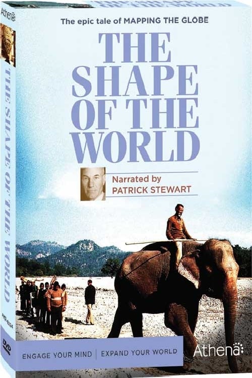
The aerial camera helps mapmaking. In the twentieth century, surveying aids the search for oil and gold, radar maps the Brazilian rainforest, Monaco charts the undersea world, satellites map the Earth from space, and three-dimensional computer maps take shape.
By browsing this website, you accept our cookies policy.